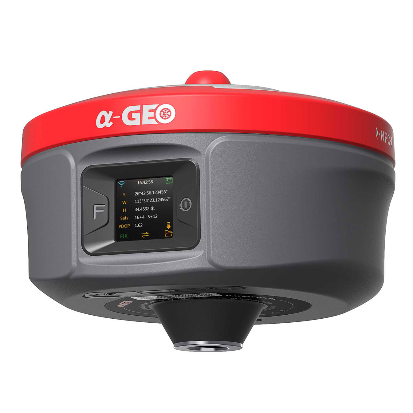
イノベーションのブレークスルー!
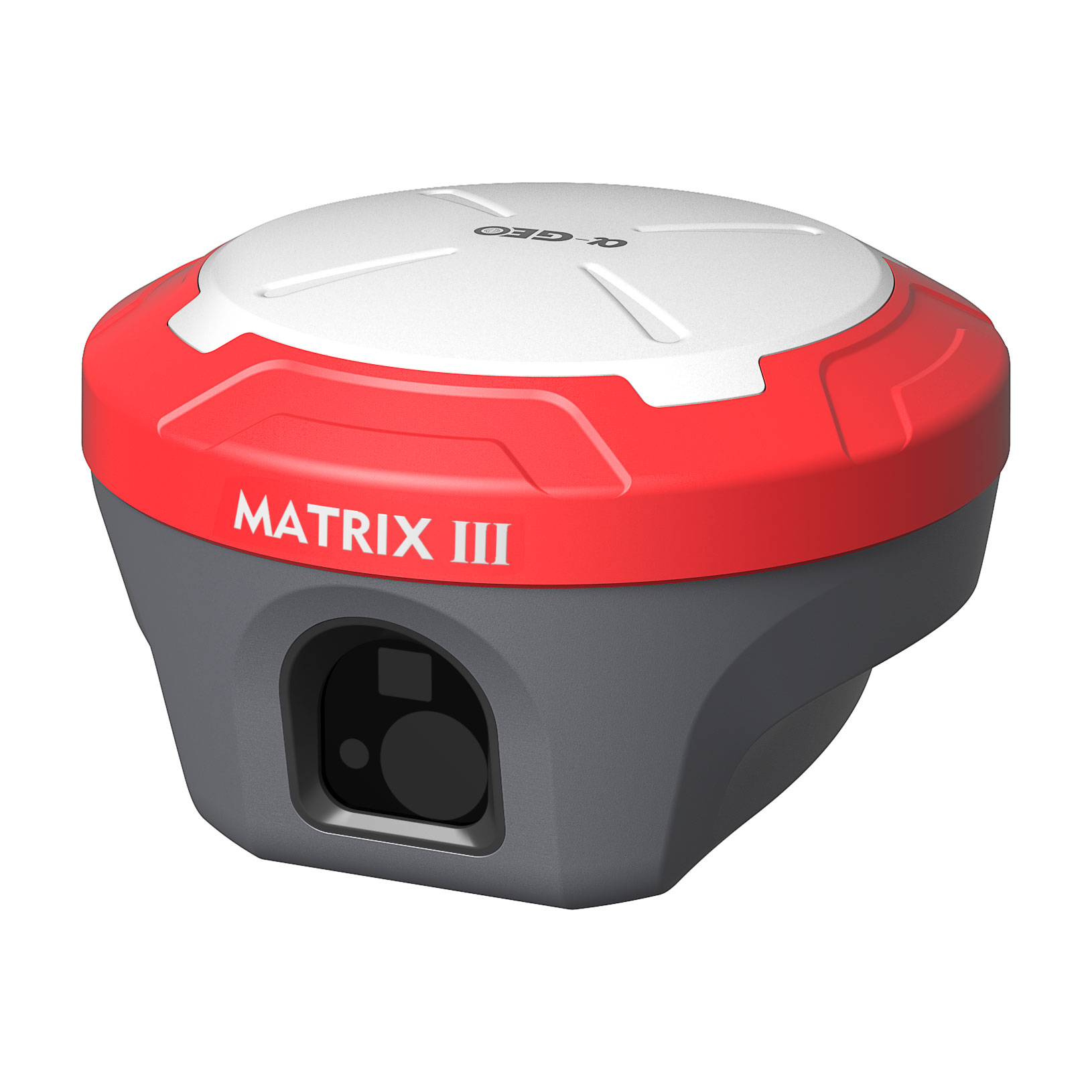
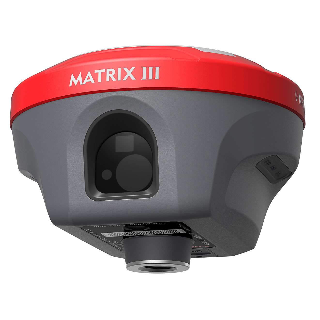
最新マトリックスIII
100メートルレーザー計測の新時代を切り開く
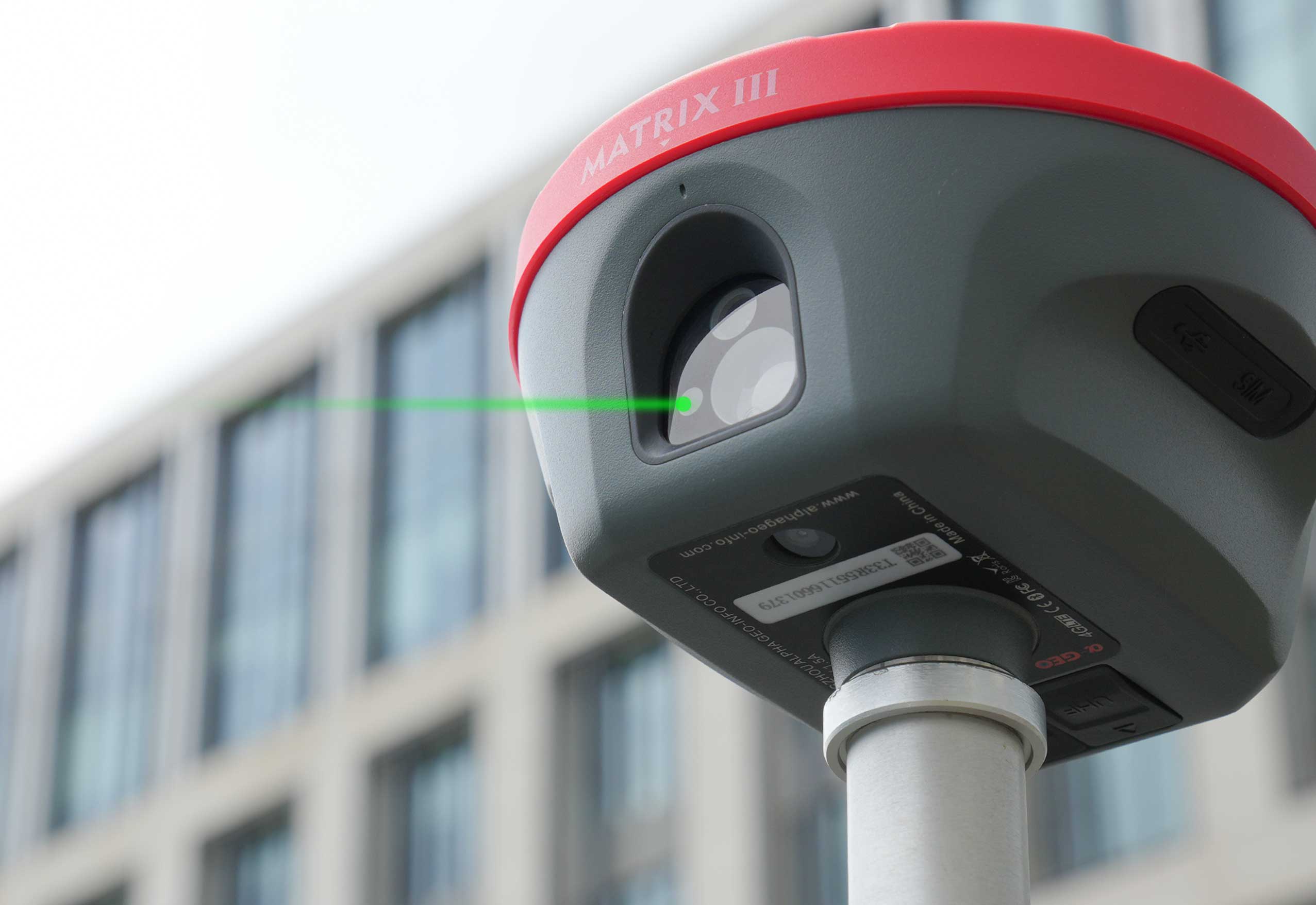
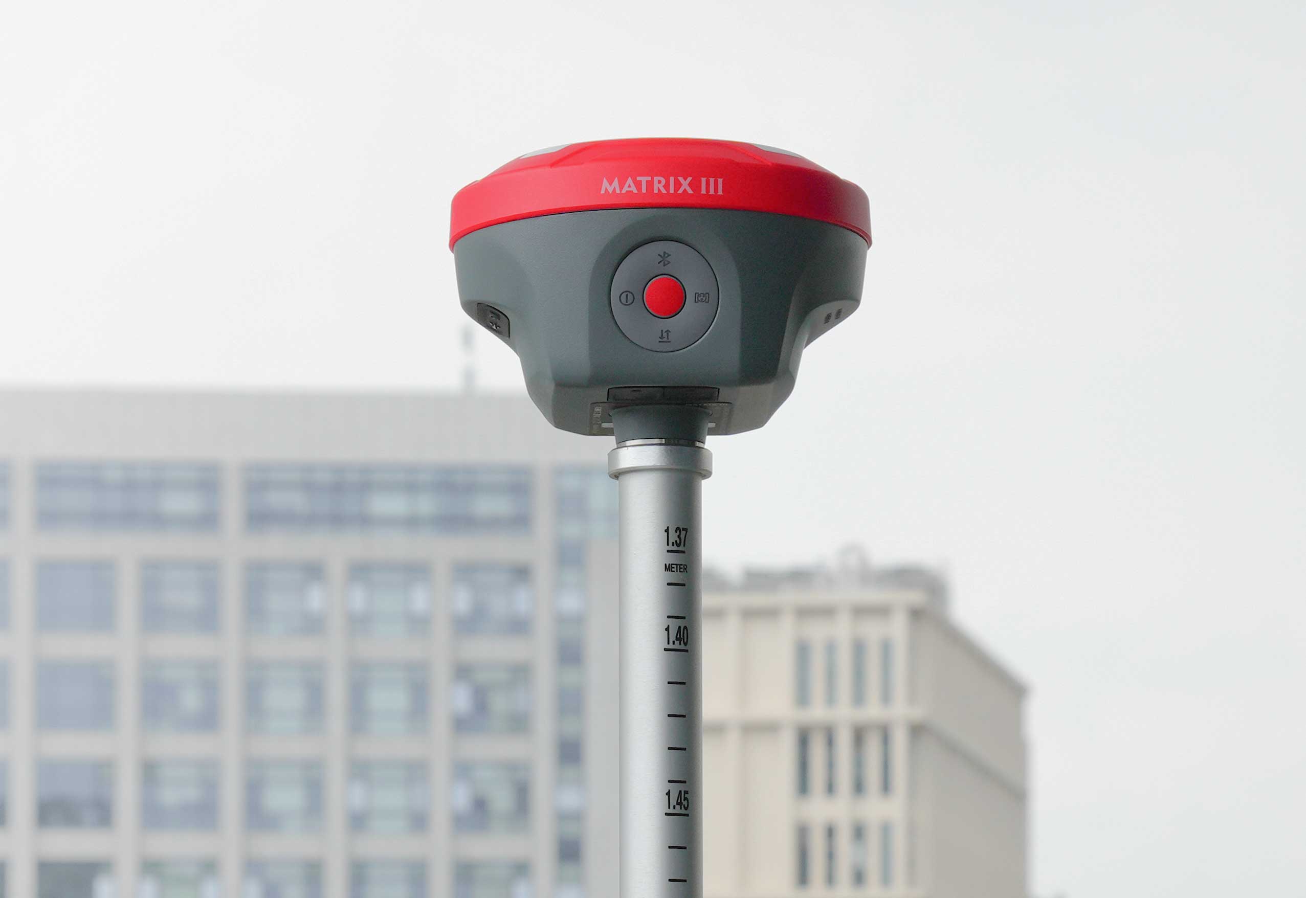
技術の急速な進歩により、レーザー測定は画期的なマイルストーンに到達しました。高性能レーザーモジュールを搭載したALPHAGEO Matrix IIIは、卓越した安定性と精度で業界標準を再定義し、最大100メートルの測定範囲を実現。複雑な環境における長距離測定の要求にも容易に対応します。
• 拡張範囲:従来の限界を打ち破り、効果的に距離をカバーします 最大100メートル。
• 高精度: 高度なアルゴリズムと光学設計を採用し、センチメートルレベルの精度を実現し、信頼性の高いデータ出力を保証します。
• 優れた環境適応性:強力な耐干渉性を備え、 暗い場所や暗い場所でも安定した性能を維持します。 温度変化。
要点を押さえる
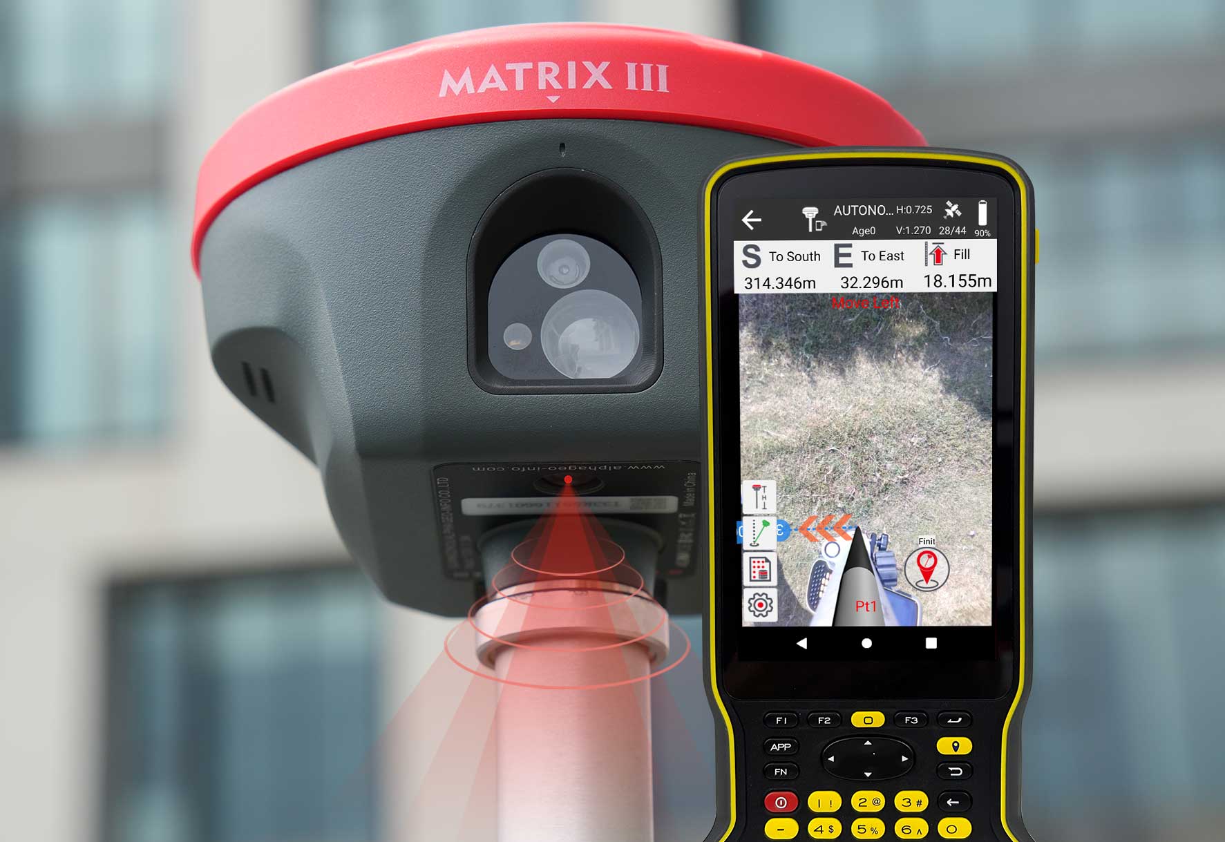
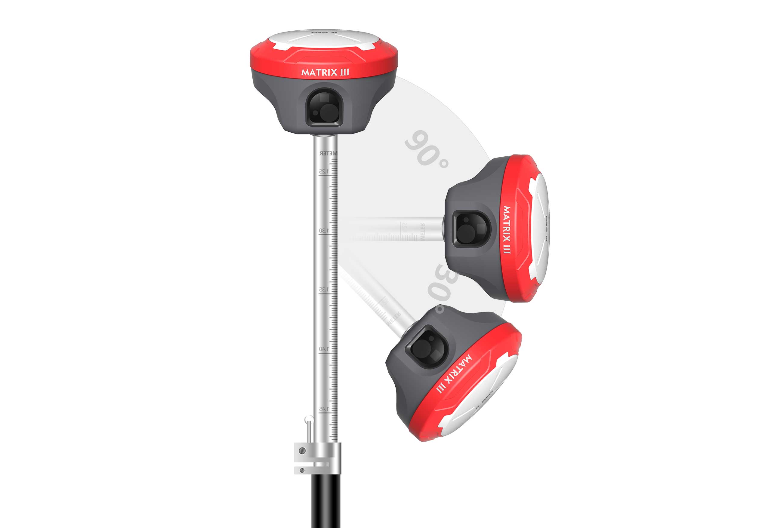
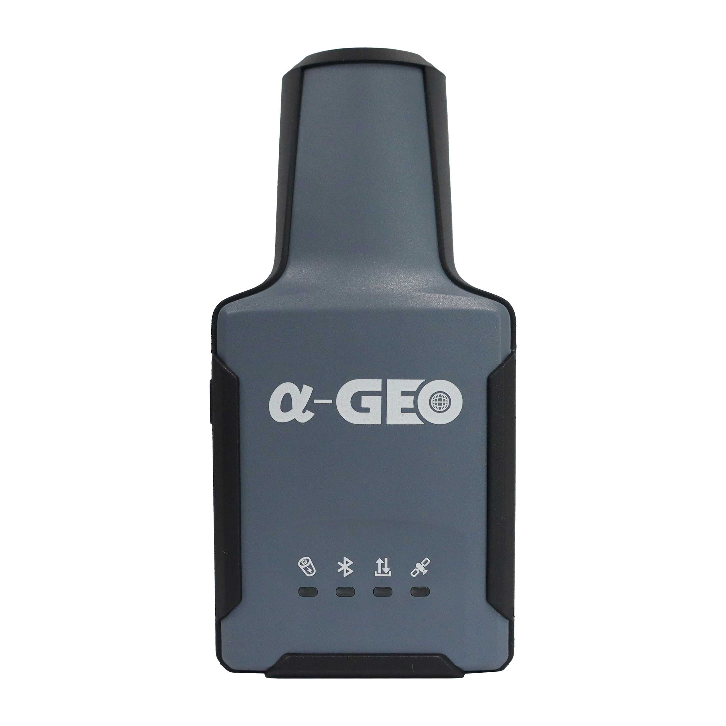
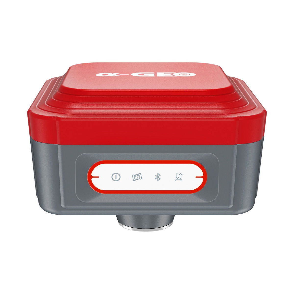
ARによる現場張り込み
• 杭打ちポイントを地面に直接マークすると、測量士は杭打ちポイントの正確な位置を簡単に見つけることができます。
• 実際の地図上の矢印に従うことで、ポールを前後に動かすことなく一度にポイントを杭打ちできるため、杭打ち作業の精度と効率が向上します。
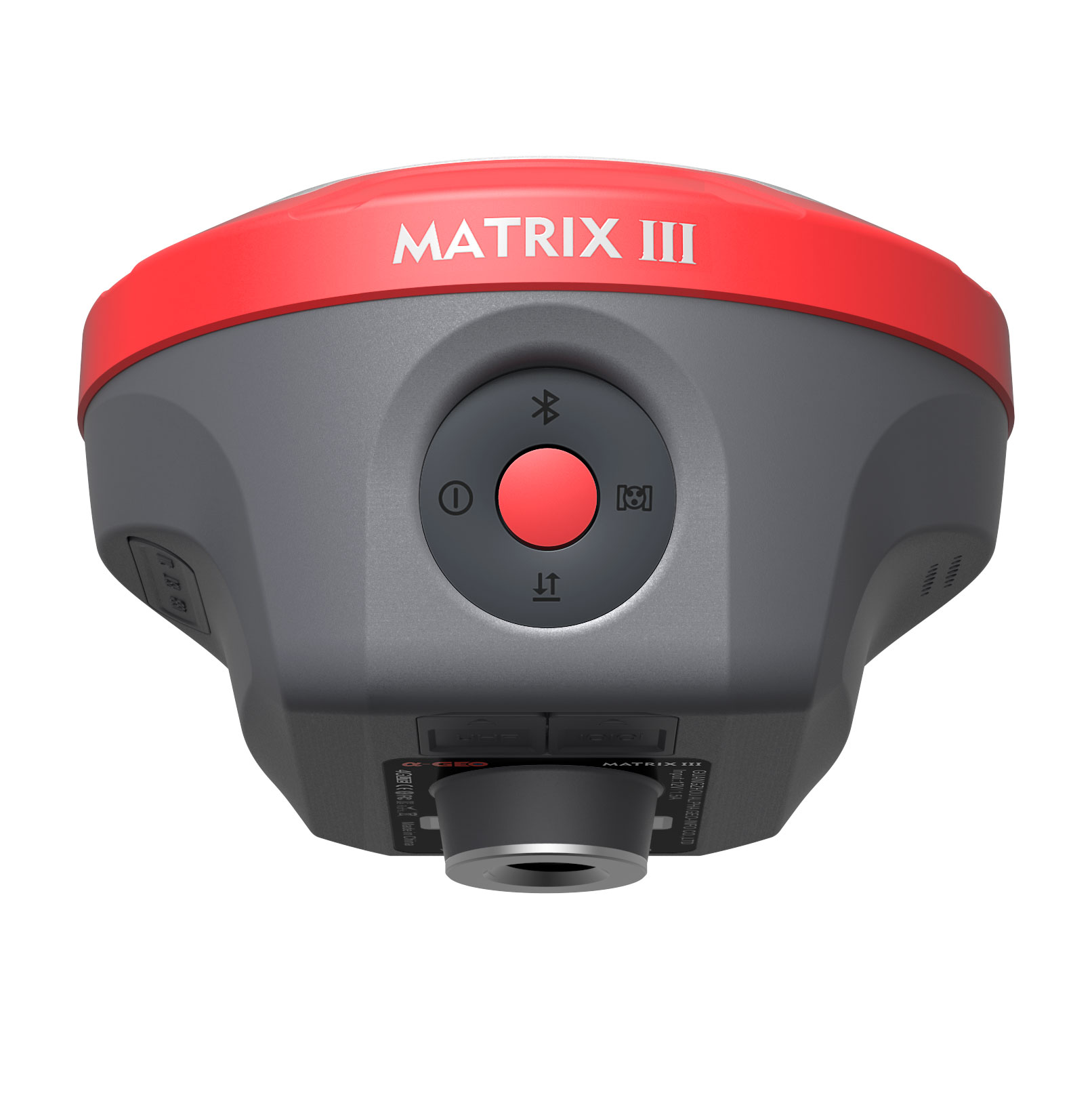
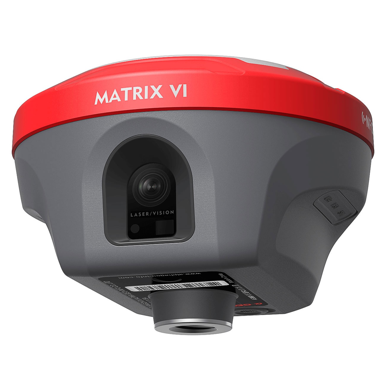
二次元エンパワーメント!
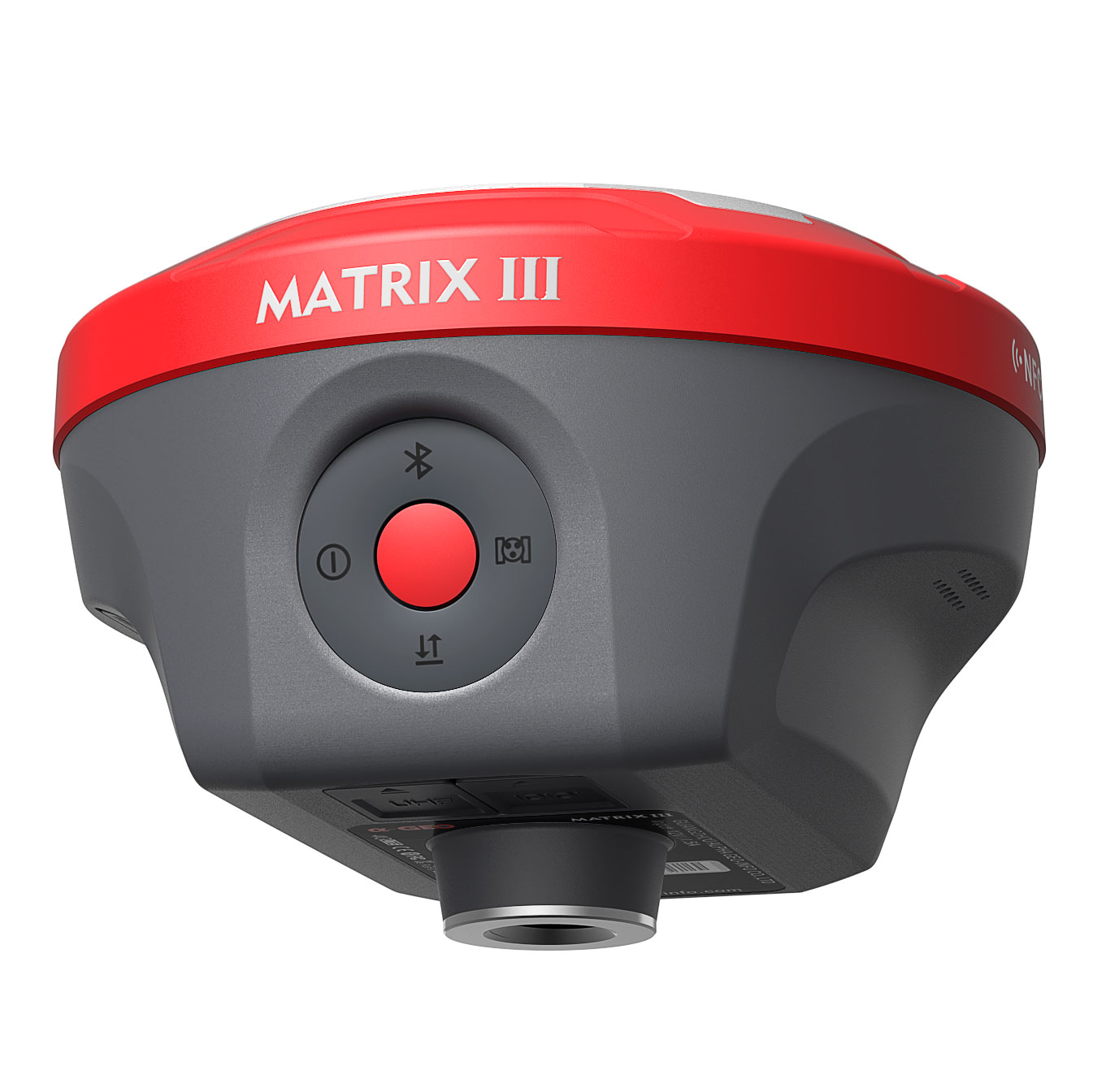
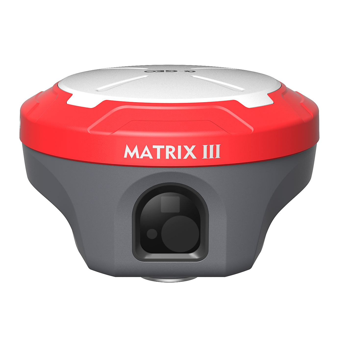
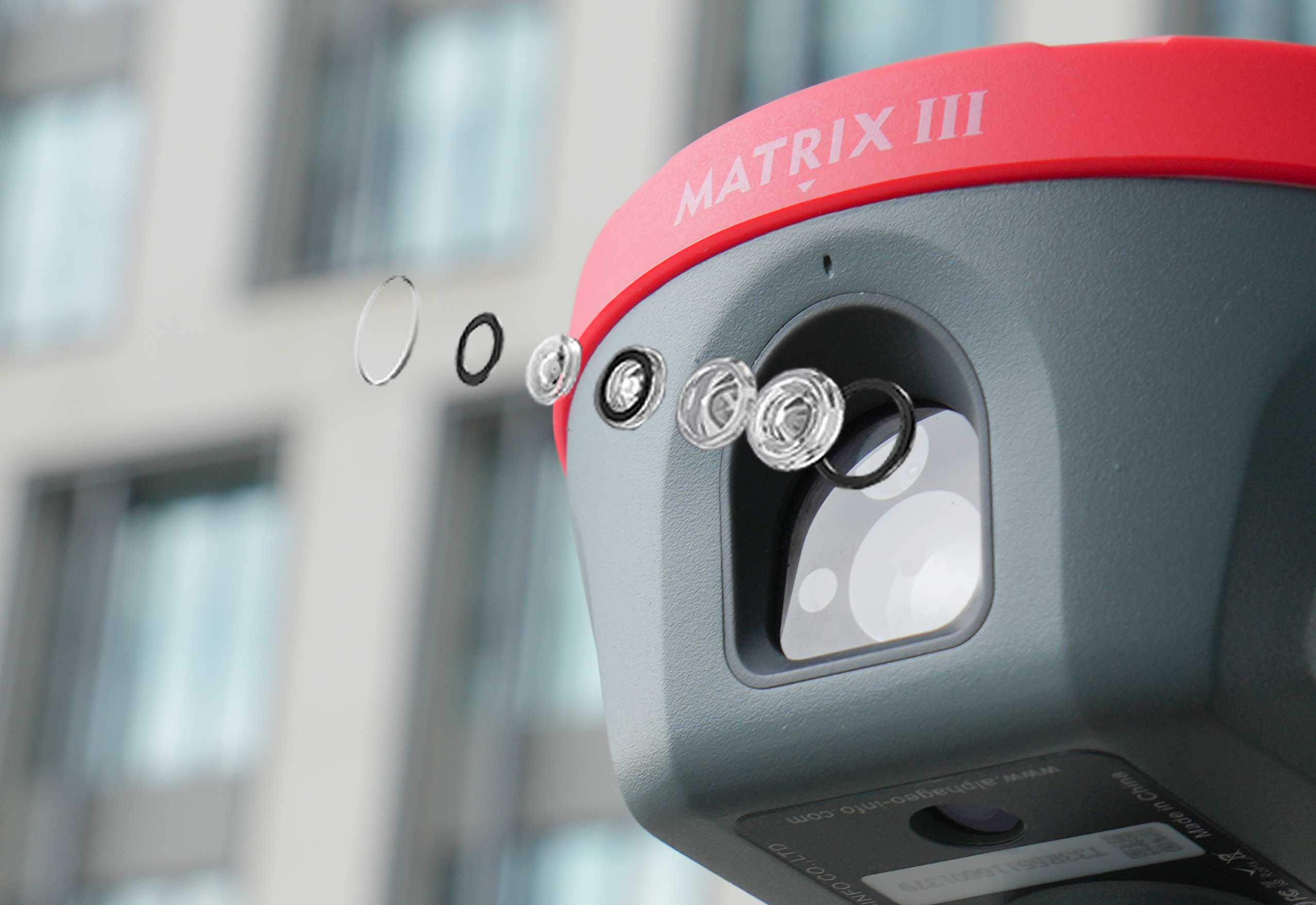
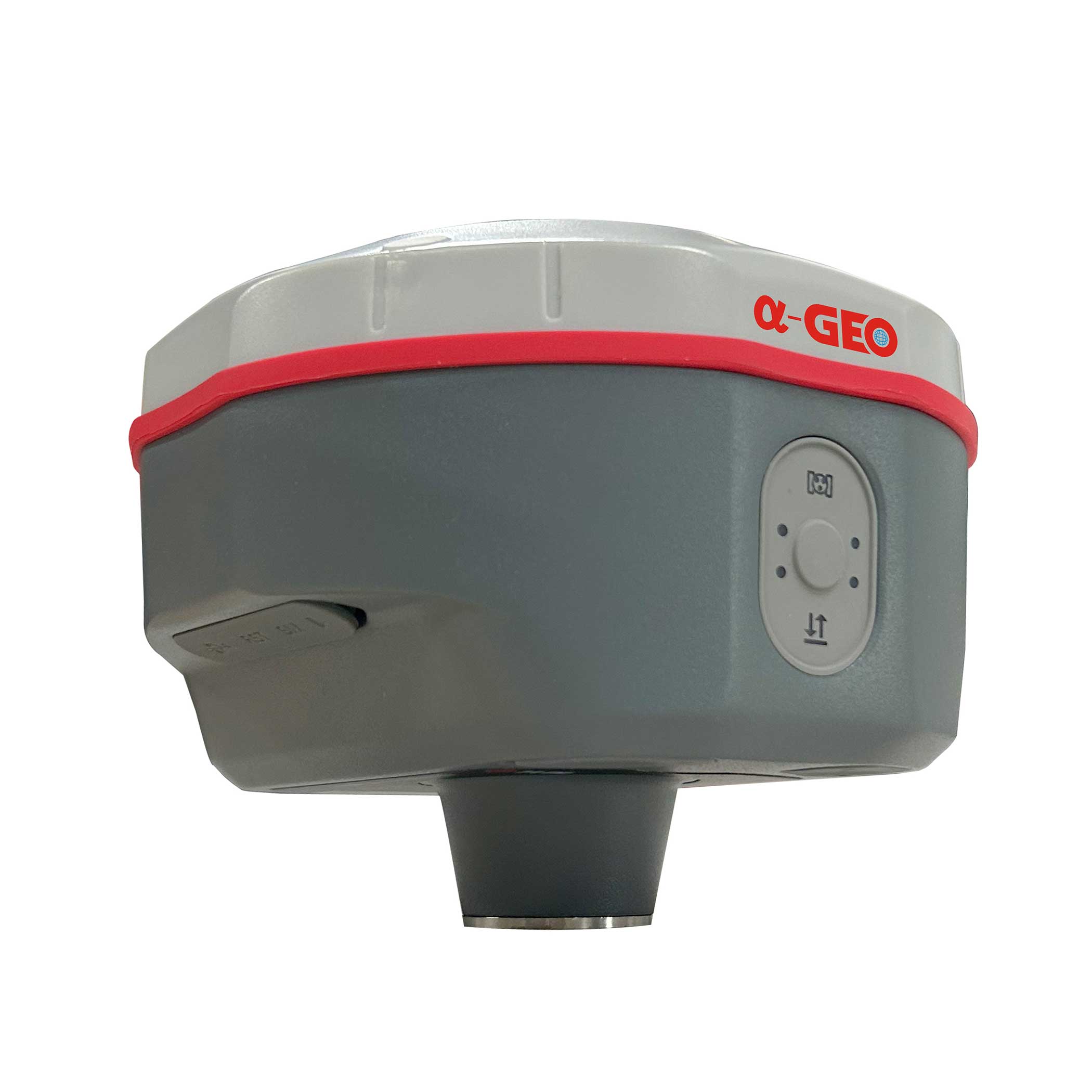
マトリックスIIIは5MP HD補助機能を搭載
レーザー支援座標位置決め用カメラ
Matrix IIIレーザーモジュールは、革新的な5MP高解像度補助カメラを搭載し、マルチスペクトル協調技術により複雑な環境下における測定信頼性を大幅に向上させます。f/2.08mmの大口径レンズを搭載したこの補助システムは、500ルクス以下の照度環境下でも対象物の特徴点を鮮明に捉えることができ、
従来のレーザー測定に固有の「ブラインドエイミング」の課題。
高度なマルチコンステレーショントラッキング
&PPPテクノロジー
1408 チャンネルの高性能 GNSS ボードを搭載した Matrix III は、GPS、GLONASS、BDS、GALILEO、QZSS、IRNSS など、運用中のすべての衛星群にわたって完全な信号追跡を提供し、厳しい環境でも継続的かつ高精度の空間測位を保証します。
一方、Matrix IIIは最先端のPPPテクノロジーをサポートしており、その優れたパフォーマンスにより、Matrix IIIはBDS PPPでセンチメートルレベルのスタンドアロン精度を実現します。
Galileo HAS では 10 進数未満の精度を実現します。
スーパーlMU
繰り返しの初期化に別れを告げましょう
Matrix IIIは、高速初期化、キャリブレーション不要、磁気干渉耐性を備えた慣性計測ユニット(IMU)を搭載しています。この技術により、すべてのユーザーが最大120°までの地形ポイントの収集や測量を行うことができます。
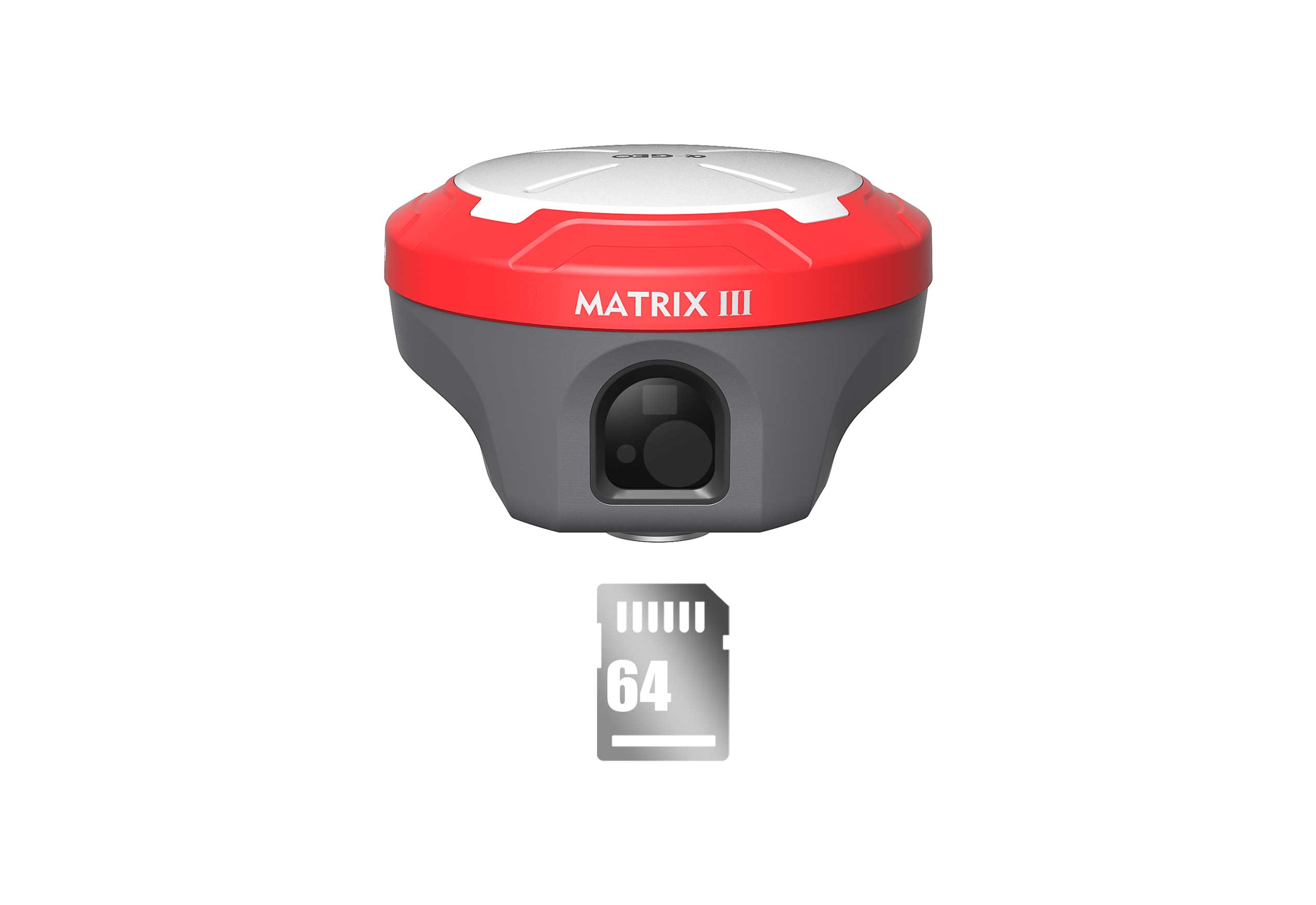
安心の保管
ほとんどのニーズを満たす64GBのメモリを内蔵 フィールドワークの作業。また、循環保存機能により、十分なスペースがない場合、受信機は以前の観測データを自動的に削除することができます。 この素晴らしいパフォーマンスで記憶に残る 5秒間隔のサンプリングで、データ保存は約4年間持続します。また、内蔵メモリチップの設計により、観測データの安全性を確保しています。

@2024 広州アルファ地理情報有限公司 無断転載を禁じます
.
 サポートされているネットワーク